Muir Woods, Explained
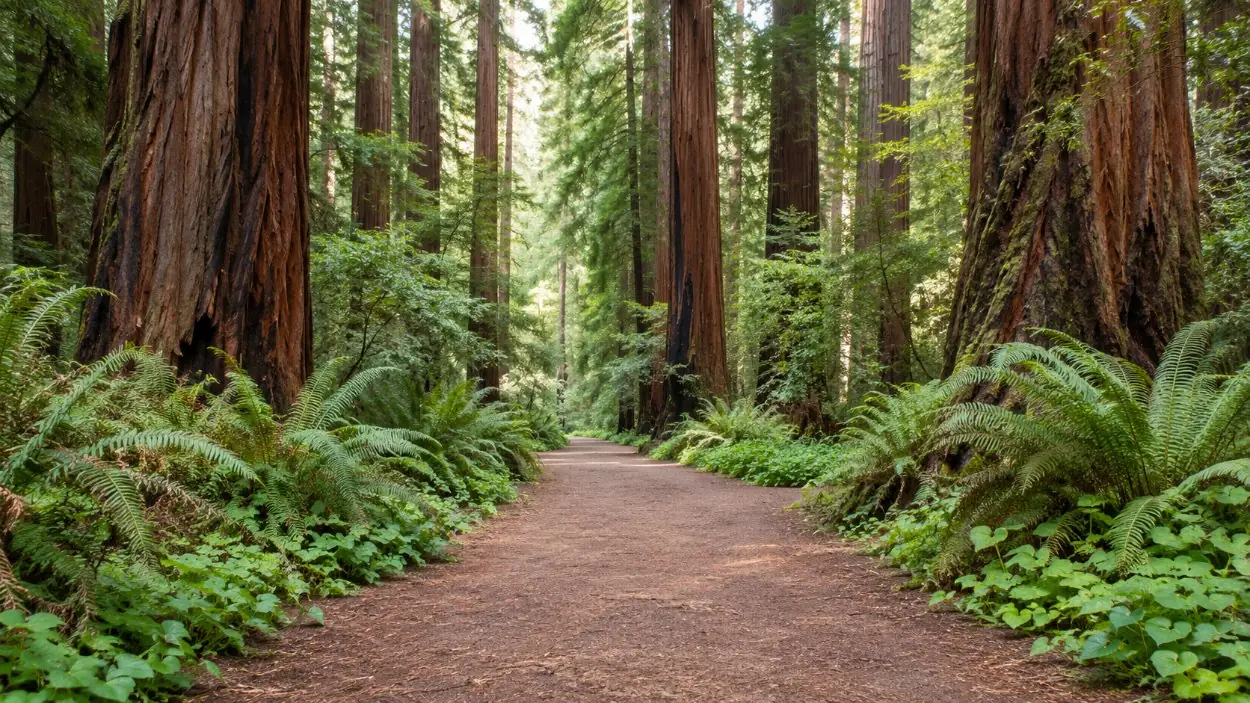
Muir Woods National Monument is 554 acres of old-growth coast redwood forest along Redwood Creek at the foot of Mount Tamalpais, in Marin County about 12 miles north of San Francisco, open every day from 8 am to sunset; the valley floor is a flat walk, the canyon walls are a real climb, and the one thing that must be booked in advance is a place for the car.
The canyon and the trees
The forest is one of the last stands of old-growth coast redwood (Sequoia sempervirens) in the Bay Area. The trees draw moisture from the summer coastal fog, the oldest are more than 1,100 years old, and the tallest in Muir Woods reaches about 258 feet. Coast redwoods are the tallest tree species in the world, but the tallest known specimens grow about 300 miles north, in Redwood National and State Parks. Nor are these giant sequoias, a different species that grows in the Sierra Nevada. Young trees sprout in rings around the base of an old or felled trunk, the family circles seen along the trail.
Congressman William Kent and his wife Elizabeth Thacher Kent bought the canyon to save it from logging and donated 295 acres to the federal government. President Theodore Roosevelt proclaimed it a national monument on 9 January 1908, the first created from privately donated land. John Muir neither owned nor bought the forest: Kent insisted it be named after the naturalist rather than after himself. The chronology, including the United Nations memorial service of May 1945 in Cathedral Grove, is on the history page.
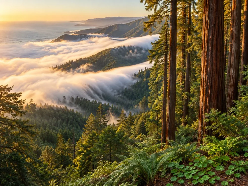
The valley loop and the climbing trails
About 6 miles of trail run inside the monument. The Main Trail follows the creek on a paved and boardwalk surface, crossing it at four numbered footbridges. Turning at Bridge 2 makes a 0.5-mile loop of about 30 minutes; at Bridge 3, a 1-mile loop of about an hour. Both take wheelchairs and strollers. The Bridge 4 loop returns on the Hillside Trail: 2 miles, 90 feet of gain, about 1.5 hours. The loop is described on the Main Trail loop.
Everything beyond the valley floor climbs. Fern Creek to Camp Alice Eastwood is 3 miles with 340 feet of gain; the Ben Johnson Trail with a return on the Dipsea is 4 miles and 925 feet in summer, and 5 miles in winter, when the Redwood Creek footbridge on the Dipsea is removed for the coho salmon spawning. Longer routes continue into Mount Tamalpais State Park on dirt paths that are narrow, steep and crossed by roots, as far as the East Peak (8 miles, 2,600 feet) or Stinson Beach and back (10 miles, 2,480 feet). Every route with its distance, gain and time is on all the trails.
The reservation and the missing signal
Every private vehicle needs a parking reservation, booked in advance at gomuirwoods.com or by phone, every day of the year. It gives a 30-minute arrival window and is not sold at the gate. Shuttle riders reserve too. Visitors who arrive on foot, by bicycle, by ride-share or taxi, or on a tour need no parking reservation, although bicycles stay outside the forest. The entrance fee for visitors 16 and older is separate; the current amount is on nps.gov.
There is no cell service and no Wi-Fi at or around Muir Woods. A reservation that has not been downloaded or printed cannot be loaded at the entrance, and a ride-share that drops visitors off cannot be called back from the car park, so the return is arranged before setting out. The whole system is set out on parking and shuttle reservations.
What the six tours give
Six guided tours from San Francisco include the forest, each with a live guide in English. They handle the transport, so none needs a parking reservation, and five of the six include the entrance fee; the private Jeep tour does not. Time in the forest is 1.5 hours on the half-day trip and the roundtrip coach tour, 90 minutes on the ferry-option tour, 80 minutes on the small-group tour and about an hour on the wine tour; the Jeep tour does not state it. That fits the Main Trail loops up to Bridge 4. It does not fit the Ben Johnson and Dipsea loop, which takes about 3 hours. Five tours continue to Sausalito; the four half-day tours allow 45 to 60 minutes there, and one of them offers the ferry back to the city. The differences are laid out on all six tours and which tour.
Without a car
The Muir Woods shuttle leaves from the Larkspur Ferry Terminal on weekends and federal holidays from early spring through September, and on Saturdays and Sundays in October, with a reservation for each direction. Marin Transit route 61 stops about 1.5 miles away, which means a 3-mile round-trip walk. Hikers also walk in from Mill Valley or from Panoramic Highway, where a common trailhead is by the Mountain Home Inn. Each option, with its season and its return, is on Muir Woods without a car.
Practicalities
The canyon is cool and shaded all year, and summer fog is common on the coast, so layers help in every season. Trainers are enough for the Main Trail; the climbing trails are easier in shoes with grip, and boots are not required anywhere. Pets, bicycles, picnics and smoking are not allowed in the monument, and eating is limited to the entrance plaza and the café patio. Poison oak and stinging nettle grow beside the trails, ticks are found on the longer ones, and there are no resident bears in Marin County. Coho salmon run in Redwood Creek from about December to February. A checklist is on things to know before going.
Ready to book
The five-hour half-day trip with an early start, 1.5 hours in the forest and the entrance fee included is below with live dates. The tours page sets all six side by side, and which tour for which visit matches them to the time, the group and how much walking it wants.
Frequently asked questions
Do you need a reservation to visit Muir Woods?
Only for a car or a seat on the shuttle: every private vehicle needs a parking reservation made in advance at gomuirwoods.com. Visitors arriving on foot, by bicycle, by ride-share or on a tour need none. See reservations.
How long is a hike in Muir Woods?
The Main Trail loops take about 30 minutes, 1 hour or 1.5 hours; the Ben Johnson and Dipsea loop takes about 3 hours with 925 feet of climbing. See how long to visit.
Is Muir Woods an easy walk?
The valley floor is flat and partly boardwalk, and the Bridge 2 and Bridge 3 loops suit wheelchairs and strollers. The trails up the canyon walls are steep dirt paths. See the Main Trail loop.