Longer Hikes onto Mount Tamalpais
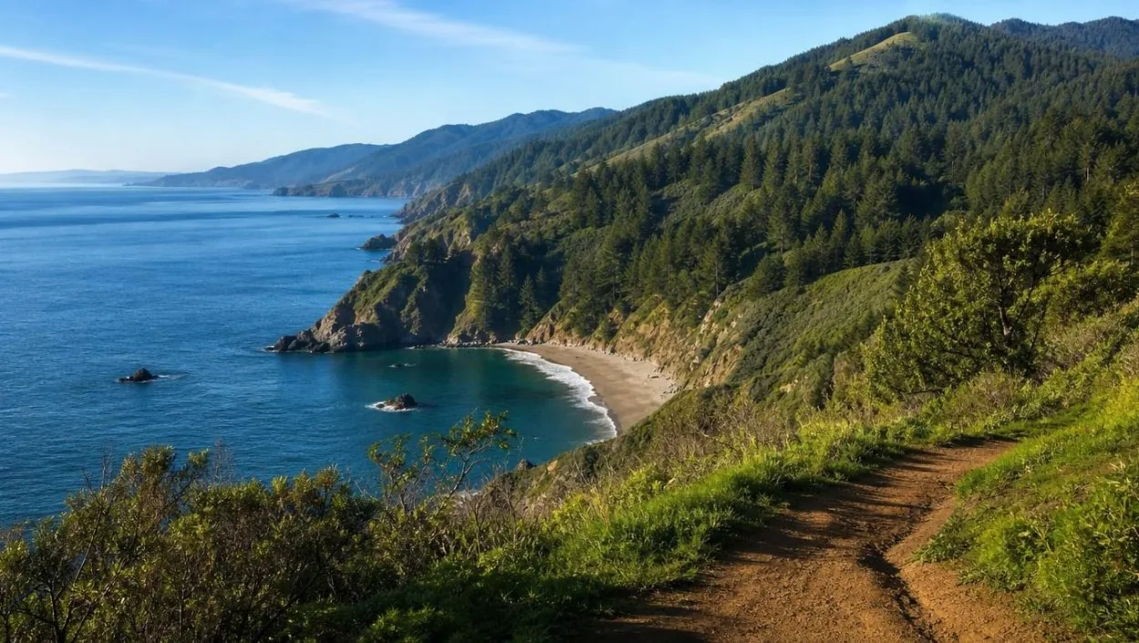
The long routes
| Route | Distance | Elevation gain | Time |
|---|---|---|---|
| Muir Woods to Muir Beach via Redwood Creek | 6 mi | 150 ft | 4 hours |
| Bootjack to TCC to Stapleveldt (summer) | 6 mi | 1,000 ft | 4 hours |
| Bootjack to TCC to Stapleveldt (winter, Dipsea return) | 7 mi | 1,000 ft | 5 hours |
| Muir Woods to East Peak, Mount Tamalpais | 8 mi | 2,600 ft | 5–6 hours |
| Muir Woods to Stinson Beach, Dipsea round trip | 10 mi | 2,480 ft | 6–7 hours |
| Stinson Beach, Dipsea out / Steep Ravine back | 11 mi | 2,860 ft | 7–8 hours |
Route by route
Muir Beach via Redwood Creek. The route follows the creek downstream to the coast at Muir Beach, 6 miles and about 4 hours with only 150 feet of gain. Poison oak and ticks are common on the Redwood Creek Trail.
Bootjack to TCC to Stapleveldt. A loop up the slopes of Mount Tamalpais with 1,000 feet of gain: 6 miles and 4 hours in summer, 7 miles and 5 hours in winter, when the return uses the Dipsea because the Redwood Creek footbridge is out for the salmon season.
East Peak. Muir Woods to East Peak, the summit of Mount Tamalpais, is 8 miles with 2,600 feet of gain, 5 to 6 hours. Summer fog is common on the coast, so the view from the top depends on the day.
Stinson Beach. Two routes reach the ocean at Stinson Beach. The Dipsea round trip is 10 miles with 2,480 feet of gain, 6 to 7 hours. Out on the Dipsea and back by the Steep Ravine Trail is 11 miles with 2,860 feet, 7 to 8 hours, and includes a 10-foot ladder on Steep Ravine. The Ben Johnson and Dipsea loop is the shorter taste of the same trail.
State park and monument
Muir Woods National Monument is run by the National Park Service and covers 554 acres with about 6 miles of trails. The long routes cross into Mount Tamalpais State Park, a California state park; its visitor information is on parks.ca.gov, and the monument’s on nps.gov. On the state park side the trails are dirt, narrow and steep, with tree roots. Shoes with grip help, and boots are not required.
Ticks, poison oak and wildlife
Ticks, which can carry Lyme disease, are found on the longer trails, and poison oak and stinging nettle grow beside them. Long trousers and a tick check at the end of the day are the usual precautions. Yellow jackets are the animal the NPS names as the most dangerous in the park. Mountain lions live in the Mount Tamalpais area around the monument but are not reported in Muir Woods itself, and Marin County has no resident bears. The wildlife page covers what lives in the canyon.
Starting early, and starting elsewhere
The monument opens at 8 am and closes at sunset. A 7-hour route begun at opening time uses most of a winter day, so the longest routes suit the long days of late spring and summer. Hikers arriving by car need a parking reservation for the entrance lots. Another start is on foot from Panoramic Highway, where a common trailhead is by the Mountain Home Inn, or from Mill Valley; the parking page covers the options when the lots are full. There is no cell signal in the canyon, so a downloaded map is needed.
The coast without the hike
None of the six guided tours walks these routes. The private open-air Jeep tour stops at the Muir Beach Overlook by road after its Muir Woods visit, a way to see the coast at the end of the Redwood Creek route. The private and wine tours page describes it; its listing does not include the entrance fee.
Frequently asked questions
Can you hike from Muir Woods to Mount Tam?
Yes. Muir Woods to East Peak is 8 miles with 2,600 feet of gain, about 5 to 6 hours, on the NPS list.
Can you hike from Muir Woods to the beach?
Yes: Muir Beach via Redwood Creek is 6 miles with 150 feet of gain, about 4 hours, and the Stinson Beach routes run 10 or 11 miles. The trail list has every figure.
Are there bears on Mount Tamalpais?
Marin County has no resident bear population. Mountain lions live in the Mount Tamalpais area; see are there bears in Muir Woods.
Do the long hikes need a Muir Woods reservation?
Only for a car or the shuttle. Hikers arriving on foot, for example from Panoramic Highway, need none; see the parking page.